Description
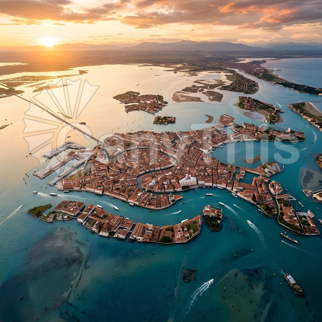
The Venetian lagoon at low tide reveals a landscape that exists only at the boundary between land and sea — the exposed mudflats, their drainage channel systems, and the stakes of the traditional valli da pesca fishing weir enclosures creating a complex organic geometry that is invisible at high tide and invisible from the ground at any state of the tide. This aerial photograph, made at 300 metres in the golden light of an autumn morning low tide, shows the northern lagoon barena (salt marsh islands) with their drainage channel networks creating dendritic patterns that mirror the surrounding coastline geometry. The traditional fishing weir stakes, set at intervals of approximately 3 metres in radiating lines, create a fan geometry that points toward the enclosed fishing ground. The shallow water depth of 20 to 40 centimetres at this tide state allows the bottom sediments to show through as warm ochre against the pale blue-grey water
surface.