Description
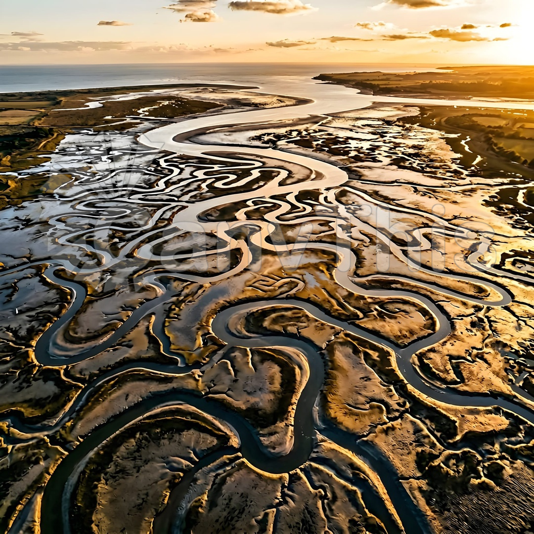
The Thames Estuary tidal mudflats, exposed for several hours around each low tide, develop a complex drainage channel network as the retained water finds its way back to the main channel. This aerial photograph, made from a drone at 100m altitude above the Leigh-on-Sea foreshore during a spring low tide, captures the full complexity of the channel network — the main tidal creek carrying the bulk of the drainage flanked by dozens of smaller branch channels subdividing the dark exposed mud into irregular polygonal panels. The silver of the water-filled channels against the near�black mud creates a graphic composition of considerable power, and the pattern closely mirrors satellite imagery of river delta systems at vastly different scales.