Description
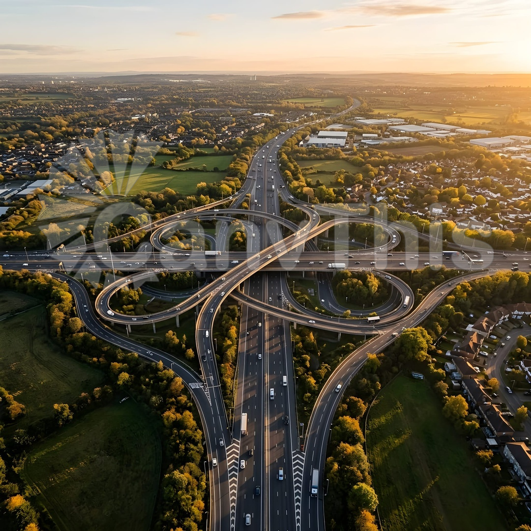
Gravelly Hill Interchange, popularly known as Spaghetti Junction, carries six major roads and the Tame and Rea rivers across a complex three-dimensional structural system of flyovers, underpasses, and ramps at three altitude levels over an area of approximately 30 hectares. This aerial photograph, made from a helicopter at 200m, captures the full plan complexity of the interchange — the looping approach and exit ramps, the straight through-routes, the service roads, and the trapped natural landscape between structural supports creating a composition of considerable engineering and visual complexity. The image has been widely used in infrastructure, transportation, and urban planning communications, and is a favourite print commission for civil engineering offices internationally.