Description
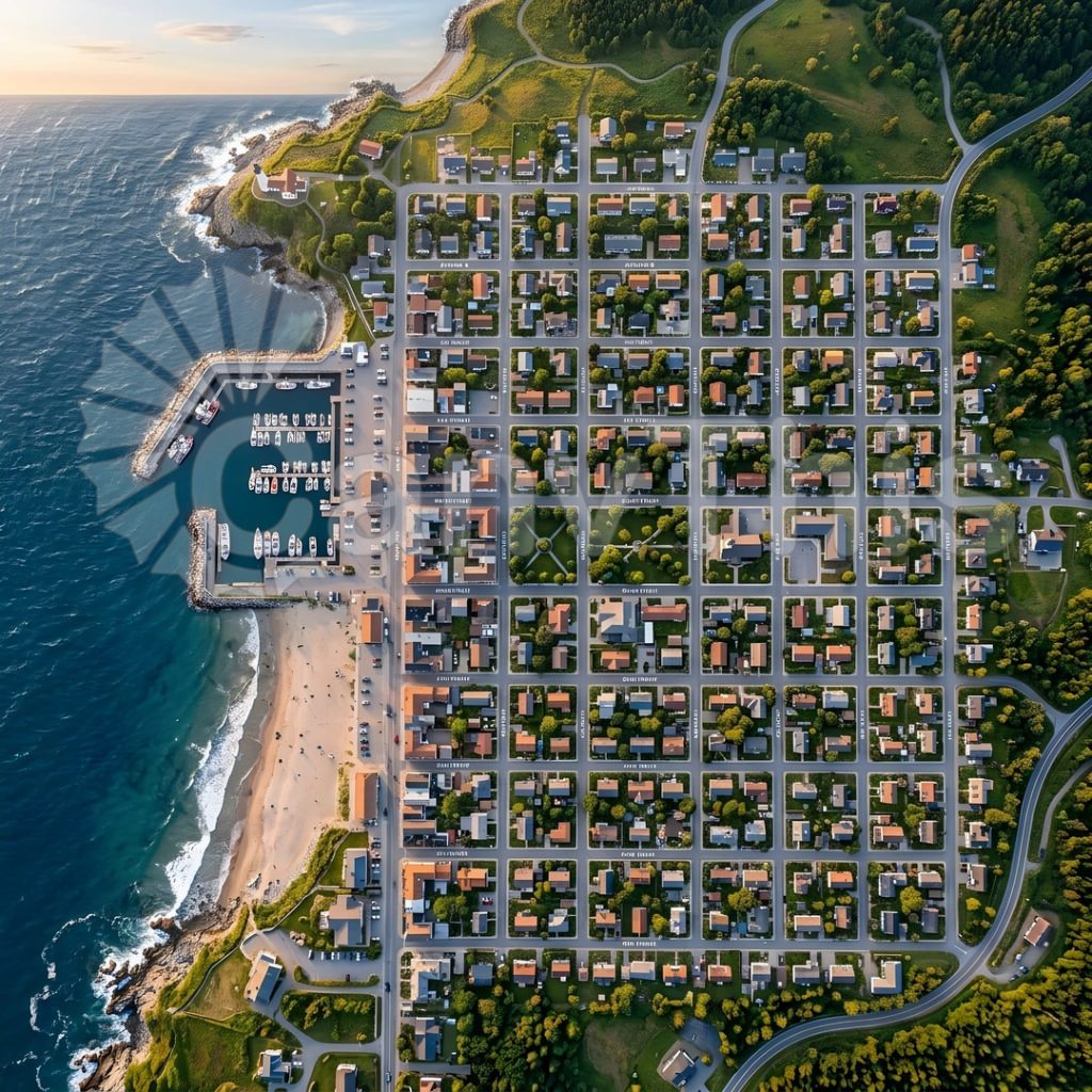
Machu Picchu’s aerial perspective — rarely photographed due to Peruvian airspace restrictions over the archaeological site — reveals the complete urban planning logic of the Inca citadel: the agricultural terraces on the lower slopes, the residential sector’s tight orthogonal grid, the religious precinct centred on the Intihuatana stone, and the Temple of the Sun, all simultaneously visible in relation to each other and to the mountain geography. This photograph, made during an authorised photographic survey flight at 300 metres above the citadel level, captures the complete site geometry against the surrounding cloud forest peaks. The Urubamba River is visible 400 metres below in the deep gorge that surrounds the citadel on three sides, the single Inca road approach visible as a narrow line on the mountain’s south face. Huayna Picchu’s peak — with its own Inca terracing — rises dramatically behind the main citadel.