Description
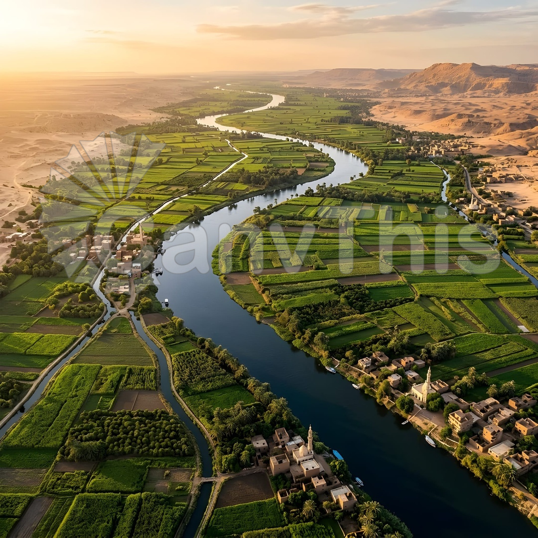
The Nile Valley’s agricultural geography is one of the world’s most dramatic illustrations of irrigation’s power over arid-zone food production — the valley floor’s narrow strip of cultivated land, never more than 10–15 kilometres wide, contrasts absolutely with the pale limestone desert that begins at precisely the elevation of the Nile’s annual flood reach. From 400 metres, this boundary is razor-sharp: the agricultural land’s vivid green ends at an absolute line, beyond which is tan desert extending to the clifftops. This photograph captures a section of the Upper Egyptian Nile near Luxor, where the valley is narrow enough for both valley walls to appear simultaneously in a single aerial frame — the green agricultural strip visible as a band crossing the frame, bounded on each side by the desert’s sudden commencement. The Nile itself is visible as a dark blue-grey river threading through the green plain, with the characteristic riverside date
palm groves marking the flood levee margin.