Description
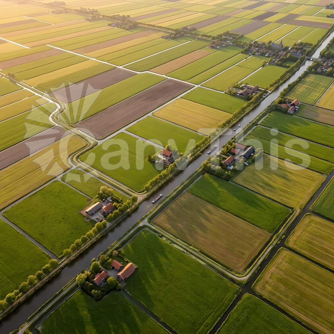
The Netherlands’ polder landscape is among the most human-modified geographies on earth — 26 percent of the country lies below sea level, maintained by an engineered drainage system that has been operating for 700 years. From altitude, the polder geometry becomes fully legible: the rectangular field boundaries aligned along primary and secondary drainage canals, the windmill and pumping station positions at the drainage network intersections, and the varied land use within the field cells creating a complex colour mosaic. This photograph was made at 400 metres over a South Holland polder in late June, the fields at maximum colour differentiation between the dark green grass pasture, the pale green cereal crops in their vegetative stage, the yellow of rapeseed in late flower, and the dark water of the drainage canals. The geometric precision of 300 years of agricultural drainage management creates an aerial composition of extraordinary regularity.