Description
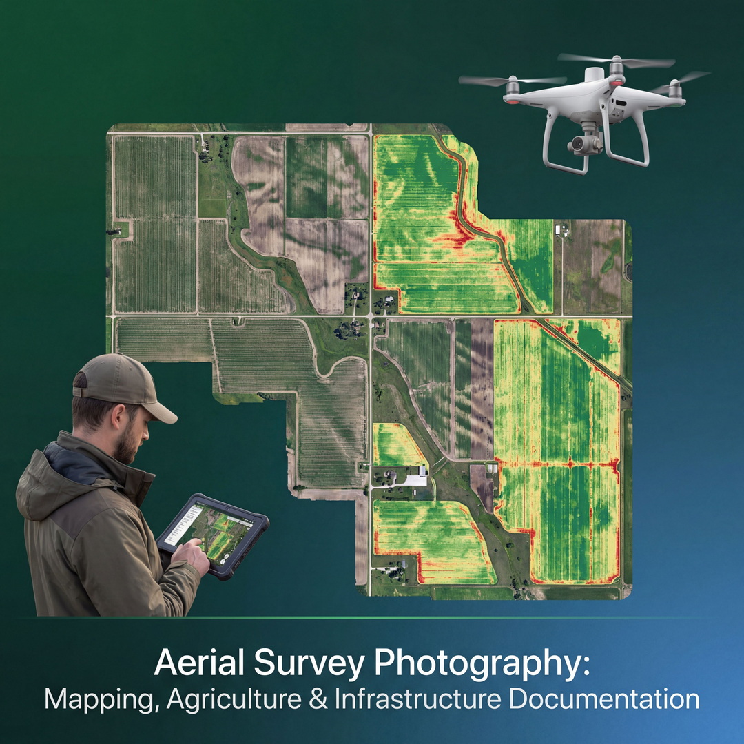
Aerial survey photography for commercial mapping, agricultural monitoring, and infrastructure inspection applications represents the highest-value commercial drone photography specialisation, delivering data products — orthomosaic maps, 3D models, and vegetation index maps — that are purchased on ongoing contractual terms by agriculture, construction, mining, and infrastructure clients. This guide provides the complete technical and operational framework for aerial survey photography at professional commercial standards. Systematic flight pattern planning covers the grid flight patterns required for complete ground coverage, the forward and side overlap percentage calculations for the GSD (Ground Sampling Distance) resolution required by mapping applications, and the GCP (Ground Control Point) placement strategy for photogrammetric accuracy. Multispectral imaging principles cover the agricultural applications of NDVI (Normalised Difference Vegetation Index) and other vegetation index calculations derived from multispectral camera systems, with evaluation of multispectral sensor platforms available for commercial survey drones. Photogrammetric accuracy requirements cover the horizontal and vertical accuracy standards for engineering-grade survey output, the RTK (Real-Time Kinematic) GPS integration required for sub-centimetre accuracy, and the accuracy verification workflow. Data processing in Pix4D and Agisoft Metashape for orthomosaic, digital terrain model, and 3D point cloud outputs are detailed.