Description
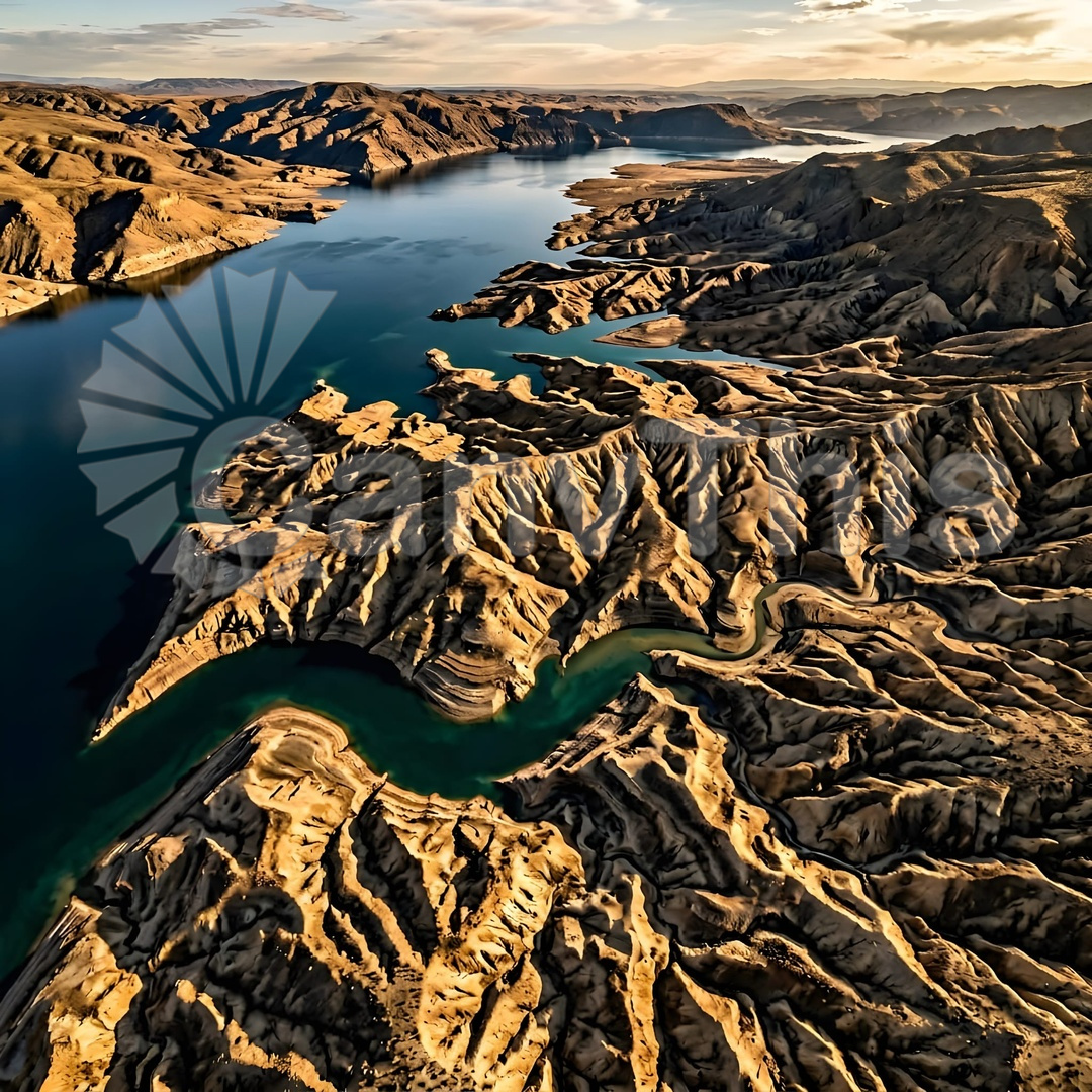
The South Aral Sea, once the world’s fourth-largest lake, has lost over 90% of its volume since 1960 as a result of Soviet-era irrigation diversions. This aerial photograph, made from a research aircraft at 500m altitude, documents the current state of the former lakebed — the exposed mineral deposits in bands of white halite, russet iron oxide, and black organic sediment intersected by the channels of residual brine drainage, the whole creating a geological landscape of considerable visual complexity and enormous environmental significance. This is an image of one of the twentieth century’s most significant environmental disasters, documented as a fine art aerial photograph of genuine visual power. Available with contextual text and exhibition-quality print options.