Description
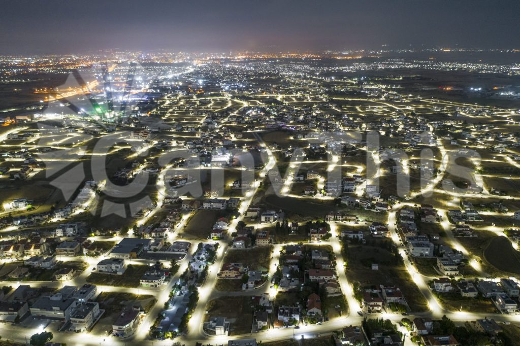
The commercial docklands of the Tagus estuary in Lisbon present one of Europe’s most graphically complex harbour aerial photography subjects — the geometric precision of engineered dock basins and quay structures contrasting with the organic clustering of traditional fishing vessels and the scattered arrangement of modern container handling equipment. This nadir photograph, made from a drone at 200m altitude in the early morning before commercial activity begins, captures the harbour in its most graphically pure state — the strong shadow geometry of the morning sun across the dock structures creating a composition of extraordinary precision and depth. Available as a fine art print and as a high-resolution commercial use licence for tourism and real estate communications.