Description
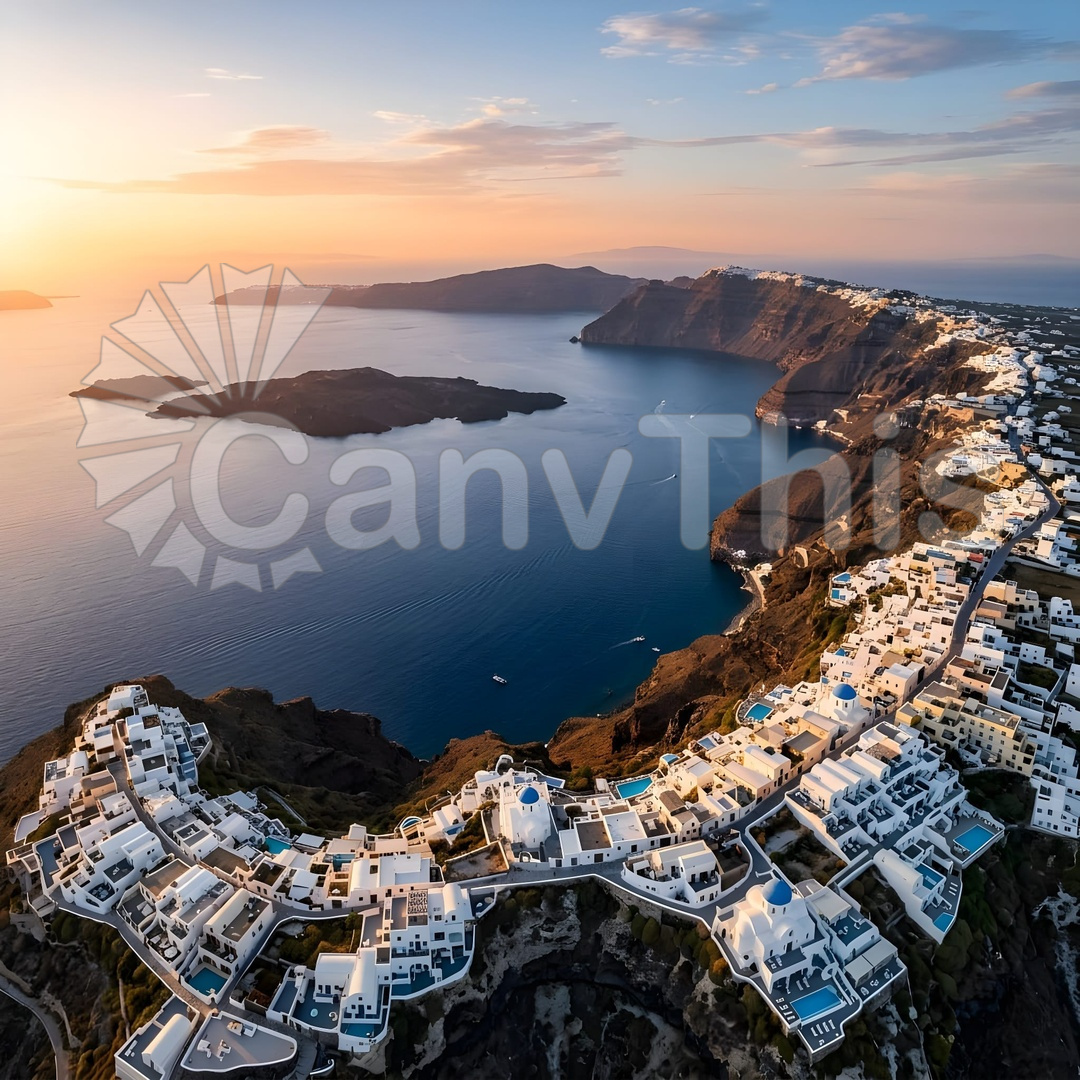
Santorini’s caldera is the remains of one of the largest volcanic eruptions in the past 10,000 years — the Minoan eruption of approximately 1,600 BCE that collapsed the central volcano and created the current horseshoe-shaped island system. The aerial perspective at 500 metres captures the complete caldera geometry: the eastern cliff wall, rising 300 metres above sea level and representing the pre-eruption island’s outer rim, curving around to form the partially submerged crater. The two central islands — Nea Kameni, still volcanically active, and Palea Kameni — rise from the caldera floor, their dark lava surfaces contrasting with the pale pumice cliffs of the outer rim. The caldera water is an extraordinary cobalt blue, the colour produced by the great depth and clarity of the seawater filling the volcanic basin. The white Cycladic architecture on the clifftops is visible as a narrow white band against the dark cliff face.