Description
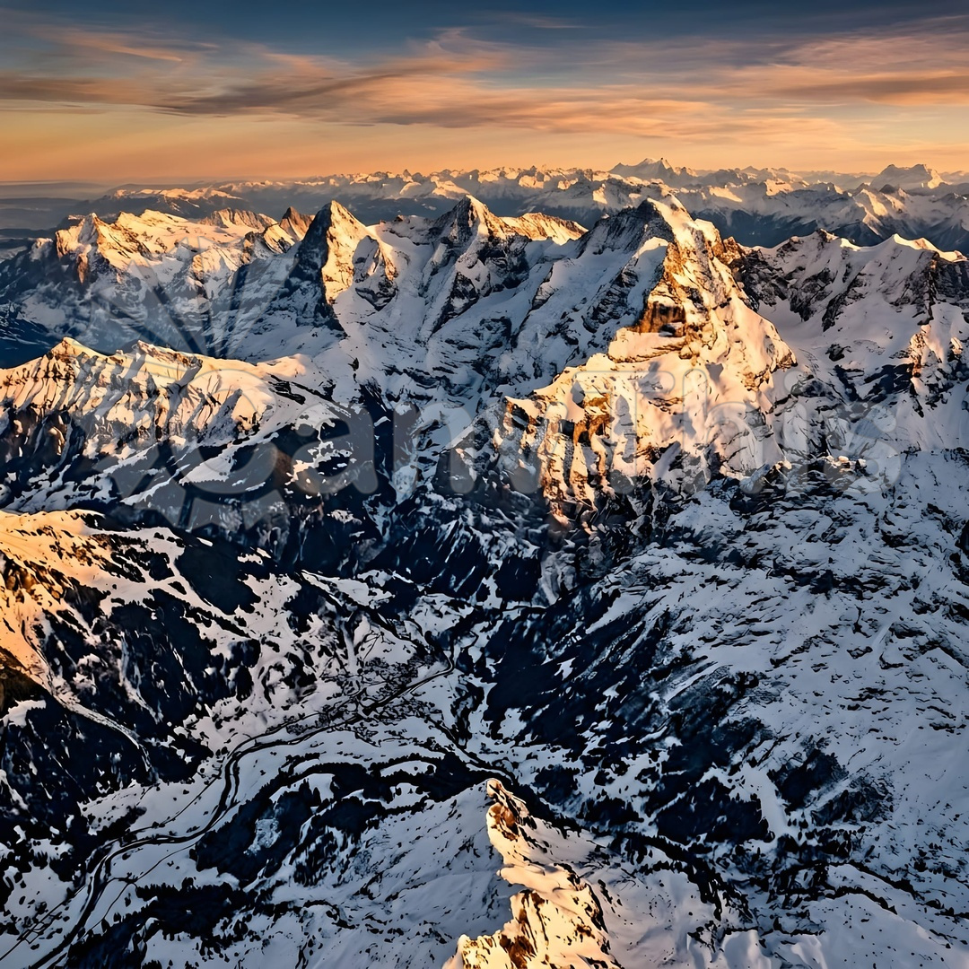
Made from a Dauphin helicopter at 5,800m above sea level (the highest altitude at which the photographic session was planned to operate) during a period of exceptional winter visibility, this aerial photograph captures the Mont Blanc massif in its full three-dimensional scale — the summit ridge, the Brenva Spur, the Miage and Leschaux glaciers, and the surrounding secondary 4,000m peaks all visible in a single frame, with an unbroken cloud sea approximately 2,000m below providing a dramatic white base that eliminates all ground-level context. The image places the highest peak in the Alps in a purely alpine context — no roads, no valley, no human infrastructure — a pure geographical portrait of the mountain.